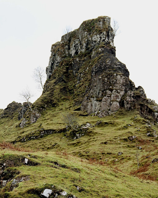
Jo reckons Glen Uig/Gleann Conain is a wide glacially sculptured valley with its origin higher up in the Trotternish Hills and that is a very plausible theory, but the landscape of Fairy Glen is something else. It bears a strong resemblance to how one might imagine Hobbiton in The Lord of the Rings and there are clear signs that some people do regard this spot as having some form of "preternatural ambience", though geologists would probably use terms such as igneous intrusions and volcanic shrapnel to bury any fanciful thoughts of dwelling places of fairies and pixies who only come out at night.
Glen Uig, at one time bearing a massive glacier westward into Uig Bay.
Looking south across Glen Uig to Fairy Glen, said to be formed from landslides followed by glaciation.
River Conon
Entering Fairy Glen.
Fairy car park
Looking north from Fairy Glen over Glen Uig.
Can you spot Laa-Laa and Tinky Winky?
Notice the Norah Batty-like wrinkly surfaces which Jo attributes to weathering rather than gravity.
Palace of the Fairy King or basalt intrusion.
Trotternish hills look down into the valley.
Icy stream.
A soft iron-rich rock.
Castle Ewen. Note the dark larval layer containing a ribbon of red rock.
Castle Ewen.


