Looking south, left to right: Loch Leum na Luirginn, Loch Cleat, Cleat, Dun Dubh.

Cnoc a Mheirlich, from the north east.

Looking north east, Cnoc a Mheirlich in the foreground, the Prison sloping up in the background.

The cliffs of Maoladh Mor on the left.

With admirable nonchalance, the group leader goes to the aid of a U3Aer encountering difficulties on a steep rock face.

Twixt Needle and Prison.
 The Needle


 Looking down at Staffin beach.
It was time for elevenses and a lecture by our resident geology graduate Dunvegan Judy on the geology of Trotternish. This was slightly in need of updating as her degree is apparently Precambrian and major geological events have occurred in the meantime. This was followed by a geology quiz featuring questions on the structure of the Earth. Uig Jo won the first prize, a not too badly dented tin of Co-op baked beans, and runner up Judy was presented with a rather hard organic pear. A query was floated as to the origin of the strange sloping structures shown below.
 Cleat and Dun Dubh in the foreground, Beinn Edra in the background. Group leader Uig Jo, demonstrated the mechanism whereby these rock formations arose by pushing my sandwich box so that the bird, flower, and butterfly books perched precarioulsy thereon, collapsed into a slope. Once again, the devastating, incisive intellect of our group leader had cut through a complex, seemingly insoluble problem like a hedge trimmer through rice pudding (with a blob of strawberry jam, stirred so that everything goes pink). In the mere flick of a finger on a sandwich box she said "the underlying sedimentary rocks have collapsed under the weight of the basalt, tipping everything sideways to form the distinctive landslips".
On the way back we clambered through heather and bog up the 300-metre high Reieval, sustaining significant midge injuries in the process, to gain a beautiful view of Uig Bay and the north west Trotternish plain, and across Loch Snizort to Waternish and the Outer Hebrides. Finally we were given lemonade back in Uig and sent on our way with mounds of giant cabbage leaves and spinach.
A spiffing day out which not only added to our cabbage coffers but also expanded still further our ever-expanding knowledge of the geological world.


A rock goblin running along the cliff top (according to our group leader).

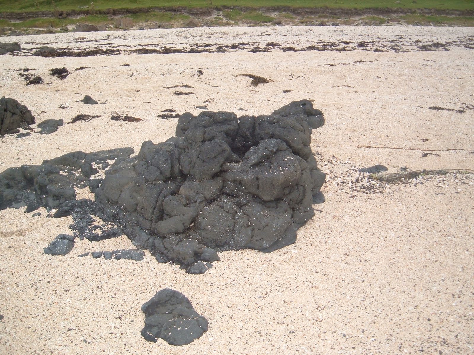
Two rock creatures guard an entrance to the underworld.

It was time for elevenses and a lecture by our resident geology graduate Dunvegan Judy on the geology of Trotternish. This was slightly in need of updating as her degree is apparently Precambrian and major geological events have occurred in the meantime. This was followed by a geology quiz featuring questions on the structure of the Earth. Uig Jo won the first prize, a not too badly dented tin of Co-op baked beans, and runner up Judy was presented with a rather hard organic pear. A query was floated as to the origin of the strange sloping structures shown below.

On the way back we clambered through heather and bog up the 300-metre high Reieval, sustaining significant midge injuries in the process, to gain a beautiful view of Uig Bay and the north west Trotternish plain, and across Loch Snizort to Waternish and the Outer Hebrides. Finally we were given lemonade back in Uig and sent on our way with mounds of giant cabbage leaves and spinach.
A spiffing day out which not only added to our cabbage coffers but also expanded still further our ever-expanding knowledge of the geological world.