14th January 2014
Mission: investigate geological phenomena at Rubha nam Bratheirean (Brothers' Point - speculated to be the site of a former monastery or of a tragic shipwreck) on the eastern shore of the Trotternish Peninsula on the Isle of Skye.
Looking west to part of the Trotternish Hills.


Heavy dolerite sill lying above finely layered Jurassic sedimentary rock. The latter was laid down around 199-145 million years ago when the desert landscape of the previous, Triassic period, was transformed by a dramatic rise in sea levels and most of western Scotland, including Skye, became an underwater environment, unlike the Outer Hebrides which was part of a then larger land mass that was not submerged. The Atlantic seaway was continuing to expand, as Greenland and North America (known as the continent of Laurentia) moved ever further away from their former land companion, Scotland; by this time they were more distant than Ireland, but no much more. The sand and mud sediments that eventually became the fossil-rich rock we see here were carried by rivers from the highers terrains of Scotland., to which the Orkney and Shetland islands were then joined. The country, now part of "the British Isles", was around 30 degrees north of the equator, about the current latitude of Cairo, and the climate was warm and wet. The northward drift continues to this day. The largest land-based outcrop of Jurassic rock in Scotland is here on the Trotternish Peninsula.


An interesting contrast between the pale upper sedimentary rock layers and the lower (older) ones which seem to show a leaching out of minerals, possibly iron-containing. It is thought that some sand, clay, shale, and lime sediments were laid down in lagoons near to the coast. I guess all of Skye cannot have been underwater during the Jurassic period as it was inhabited for at least part of the time by dinosaurs. Is the rock containing the famous dinosaur footprint at Staffin, north of this point, perhaps a Cretaceous (65-145 million years ago) rather than a Jurassic (199-145 million years ago) rock (dinosaurs only became extinct at the end of the Cretaceous period). There do seem to be some contradictions and inconsistency in geological speculations.


Kilt Rock, a few miles north of Brothers' Point, shows the same pattern, albeit on a larger scale, of massive dolerite sills (magma forced through horizontal planes in the sedimentary rock, before cooling to form vertical joints). One might suggest that the two sills one can see here formed at roughly the same time by magma being forced through the sedimentary rock at higher and lower points. Certainly one can see how the sedimentary rock may have been preserved from erosion by the upper dolomite sill, above which only a thin surface soil remains after millions of years of erosion. The sills would have formed during the Palaeogene period (23-65 million years ago) when Skye (and other parts of western Scotland) was the site of a huge volcano, the climate was tropical, and dinosaurs no longer existed.
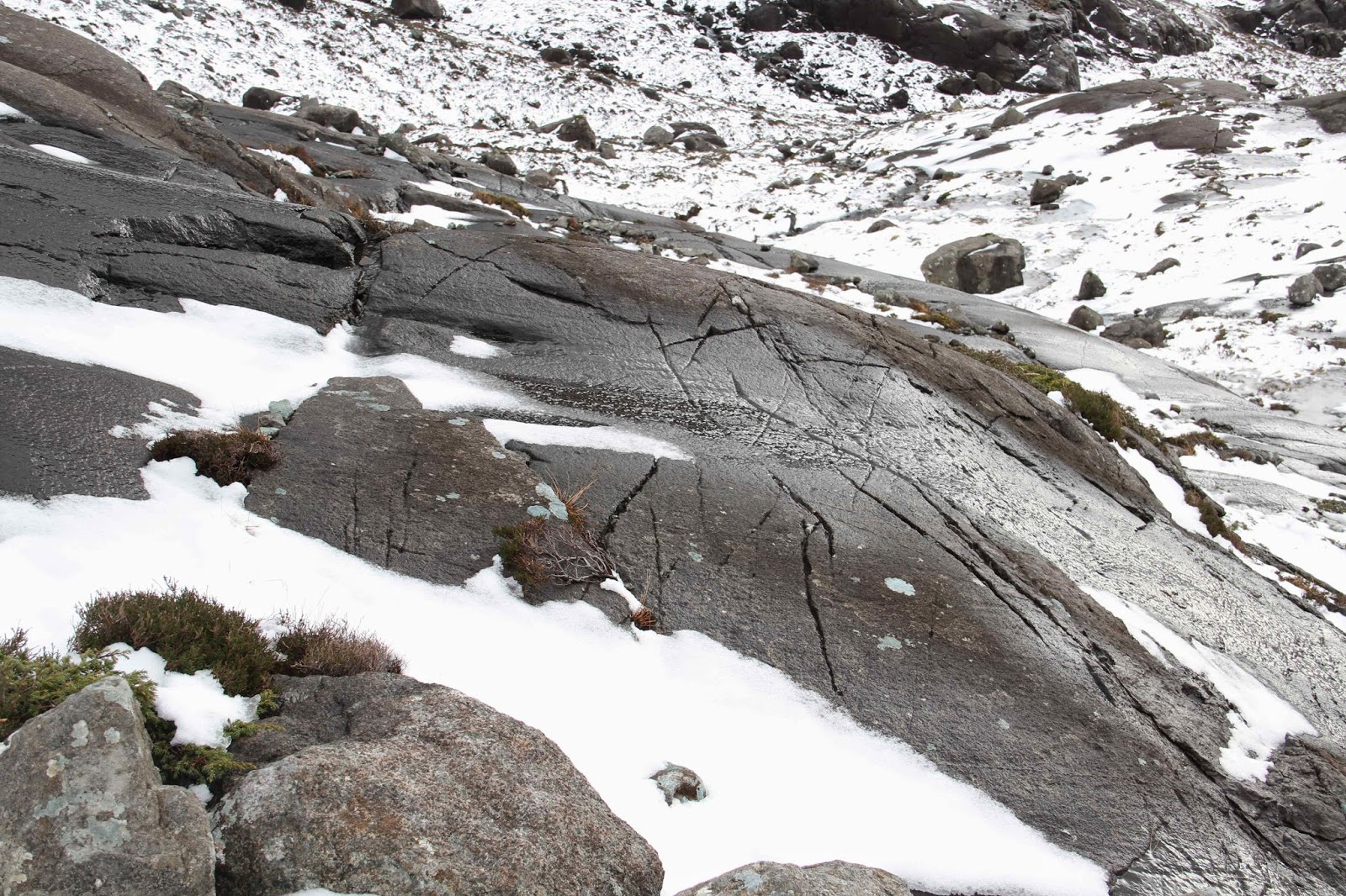
Very thin sedimentary layers.
Nice bit of violet blue mineral.
Brothers' Point
Looking eastward to the mainland of Scotland.
At this point I followed Jo along a rather narrow precipitous path in order to take a photo of a dyke. One slip and it would probably have been death but on this occasion our lives were not terminated. The others chickened out.
Conservative sheep hits out at geology students.
This was the dyke (magma forced through vertical spaces or cracks in rocks - cooling to form horizontal joints that are usually seen as hexagonal cross sections) which Jo admitted was not as inspiring as she had expected.
However, one might ask whether this actually is a dyke.
Are we looking at vertical cooling joints here?
Could this perhaps be a section of sill that has become detached during erosion by waves? Also, I thought dykes radiated away from the centre of volcanic activity, so shouldn't this be perpendicular to the main coast line rather parallel to it? I've no idea. All suggestions are welcome.
Yet again we defied cliff-induced death. Looking back at Brothers' Point.
A bit that fell off.
Was this a sea stack, built of sedimentary rock, which toppled over, turning the layers through 90 degrees?